


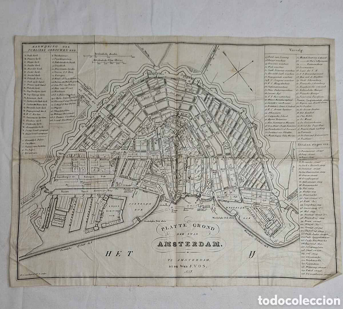

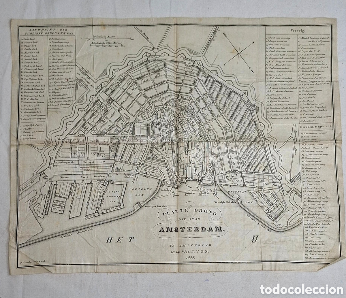
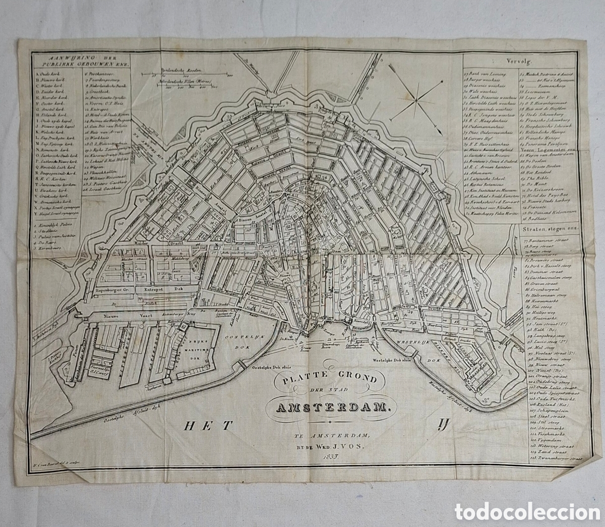


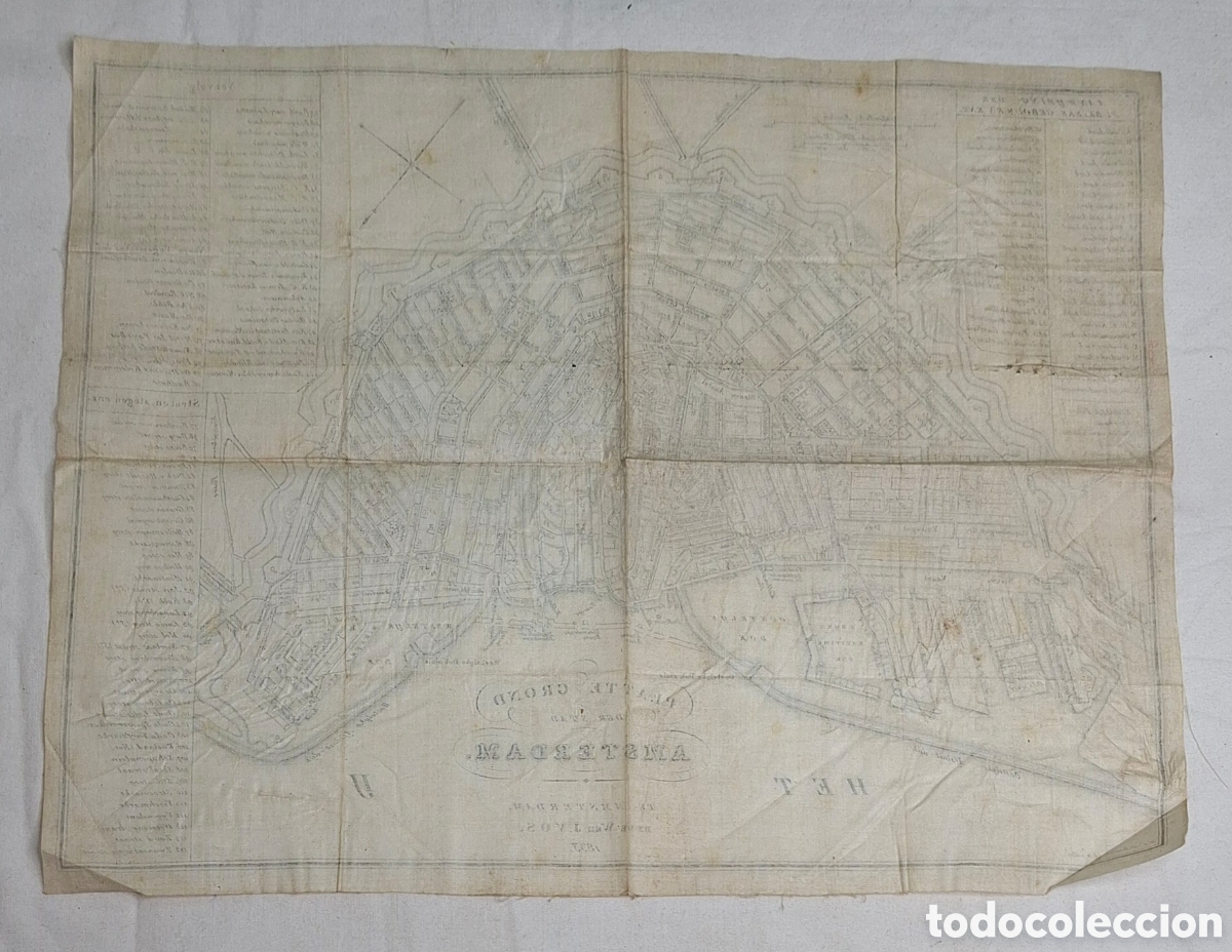


Mapa histórico de la ciudad de Ámsterdam, datado en 1833. Impreso sobre tela.
- Detalla la ciudad y sus alrededores.
- Incluye leyendas y nombres de calles y edificios.
- Medidas: 26 cm x 33,5 cm

Spain (Illes Balears)
Seller registered as a professional.


 Español
 English
 Deutsch
 Français
 Português
 Italiano