
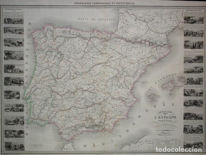
Géographe Commerciale et Industrielle. Nouvelle Carte Illustrée de L'Espagne et du Portugal. A. Vuillemin Paris 1860. Mapa grabado en plancha de acero, bordes de las provincias y países coloreados a mano. Con vistas y información comercial y Industrial sobre cada provincia. Un mapa raro.
Tamaño del mapa 60 x 83 cm
El mapa es un original no una reproducción.


Spain (Sevilla)
Seller registered as a professional.


 Español
 English
 Deutsch
 Français
 Português
 Italiano